Description
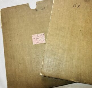
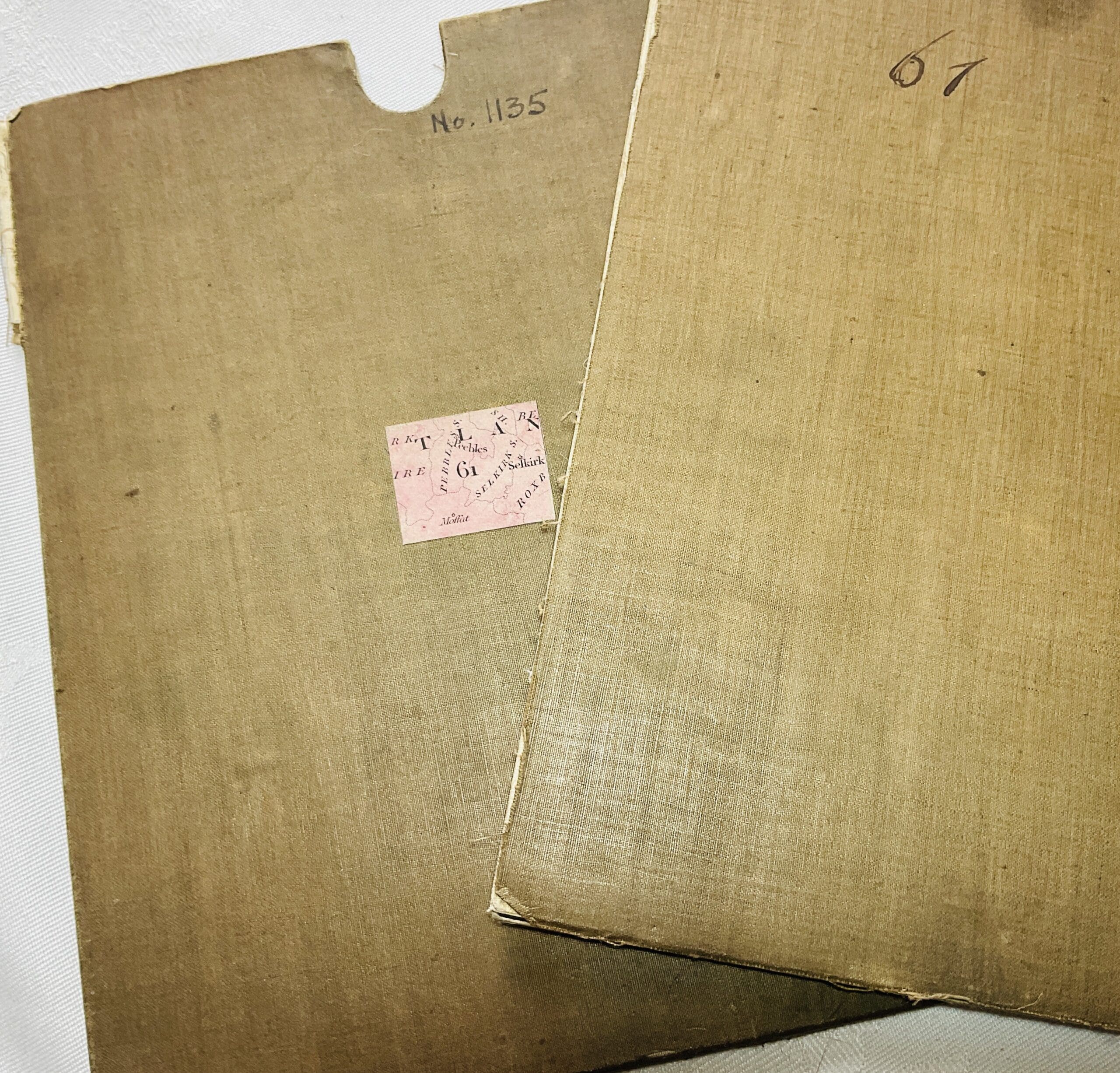
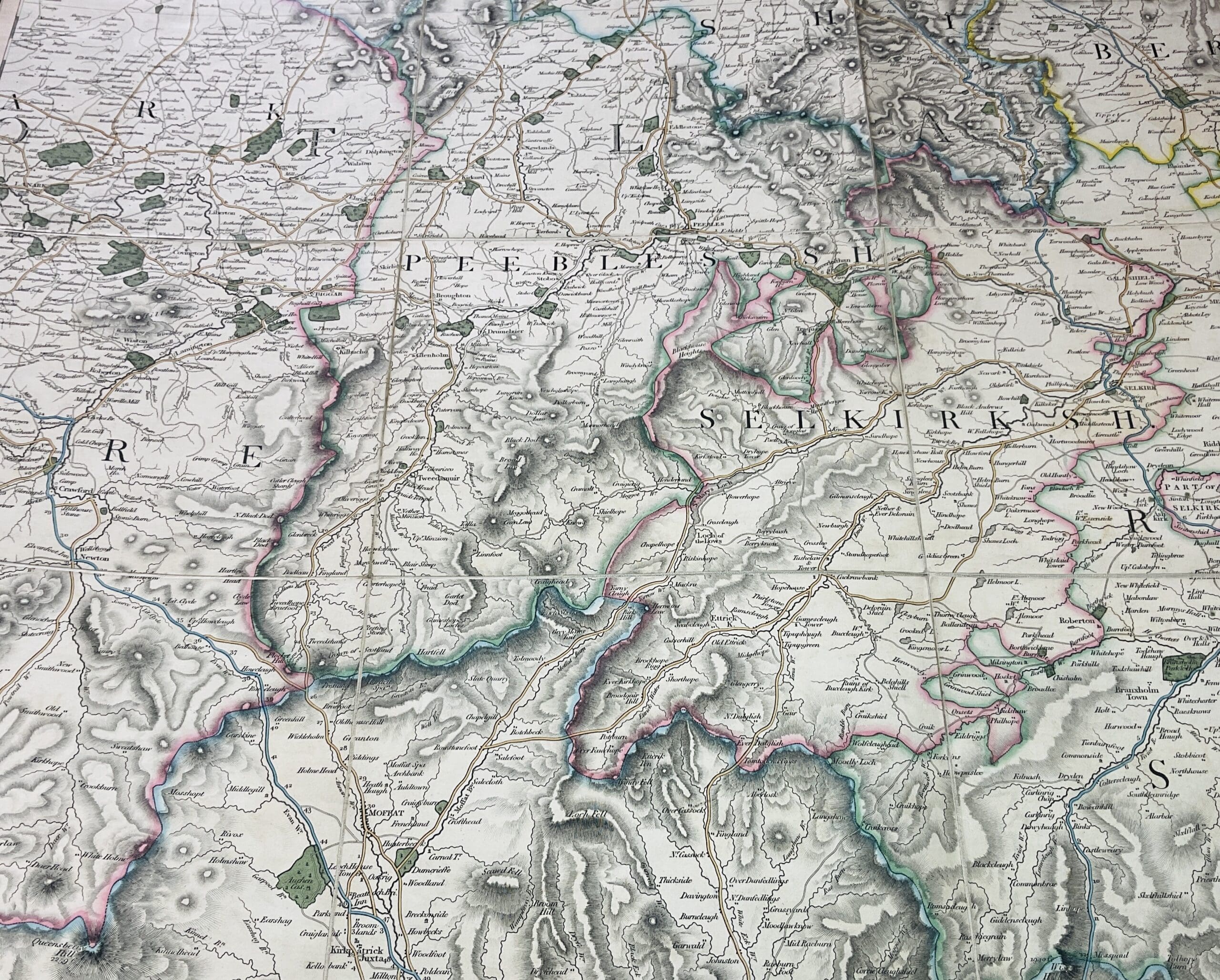
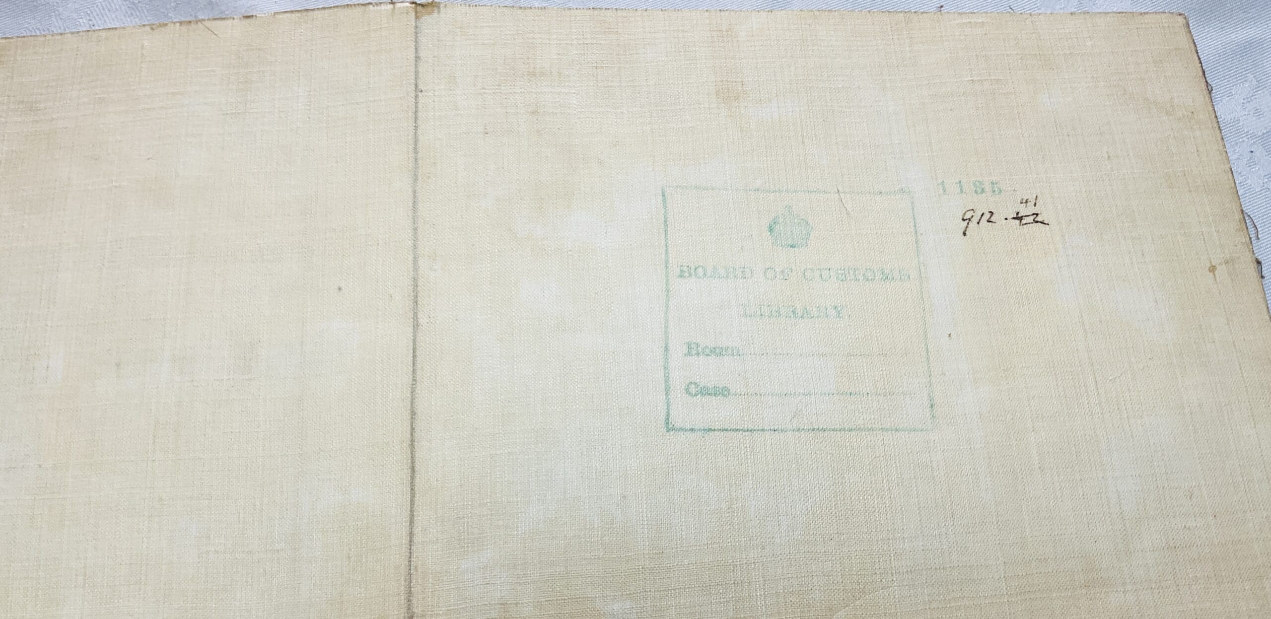
Antique hand-coloured folding map by George & John Cary (originally published in1832). This is dissected into 9 sections and laid on linen. Dimensions 54.5 x 66.5cm, [21.25 x 26.25 inches ] . The map is housed in a docket/ holder which is made of the same material as the linen covered card which backs the two ‘covers’ . Stamped to the verso is the legend ‘Board of Customs Library’ and a class mark. The Board of Customs was renamed as Board of Customs and Excise in 1909 so this copy predates that change. The map appears identical to copies of the 1832 edition other than the lack of the Cary address and date to the lower edge where it is replaced by the continuation sheet references, and the lack of the blank edging at West and North sides where it appears the map has possibly been sized to fit in the docket.Cary designed specific maps for the Board of Customs and it would seem likelythis is fropm a set of original maps slightly amended for the board of Customs possibly as a complete set in docket holders for their library.